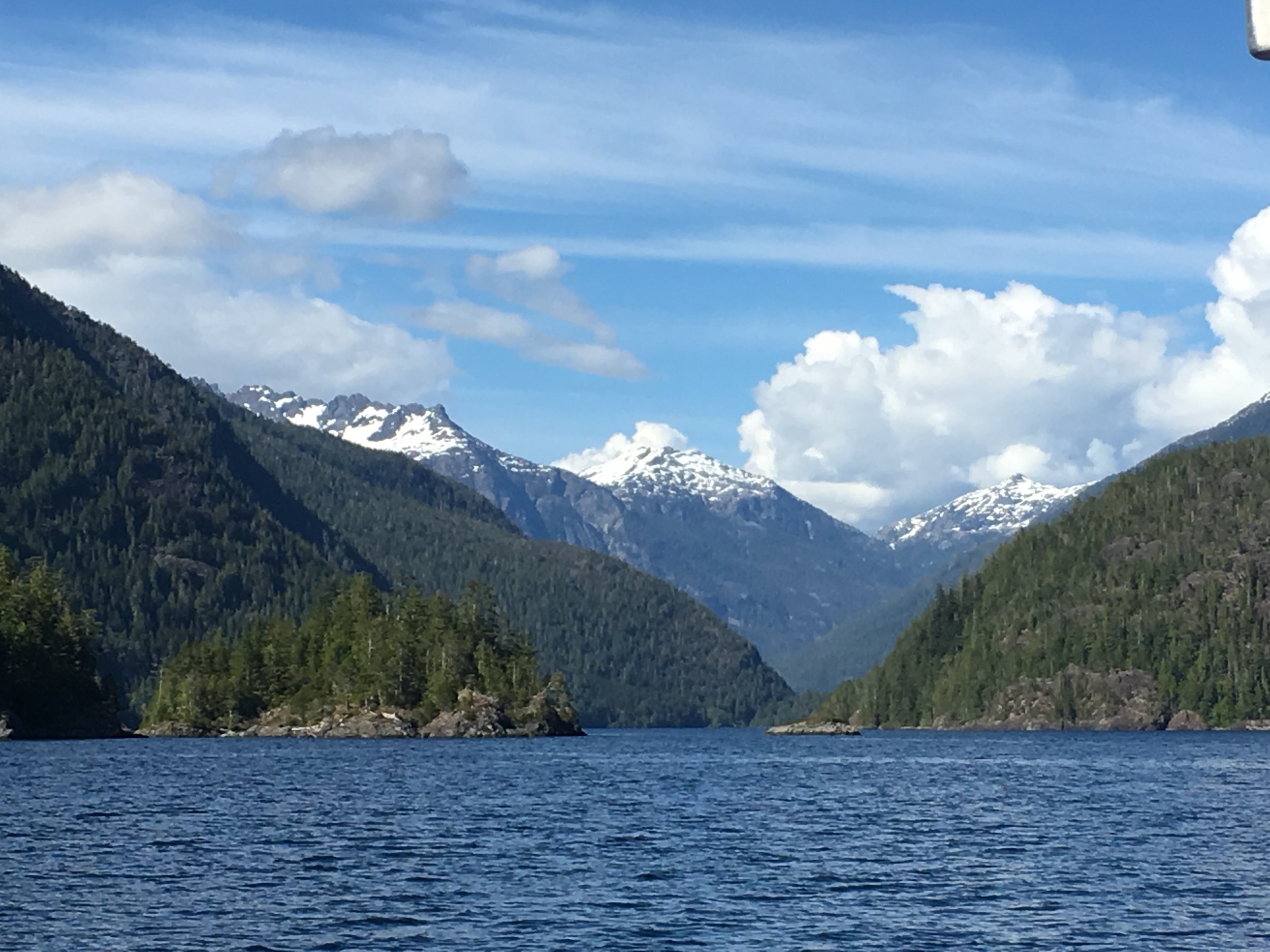
Land
Keel Geospatial land surveying provides a broad field of services within the geospatial community where we encompass various techniques and methodologies to determine the three-dimensional positions of points, distances, angles, and elevations on the Earth's surface covering a wide range of applications, including agricultural, land development, construction, infrastructure planning, real estate, emergency response, mining, exploration, marine navigation, engineering, and environmental management.
Our land surveyors utilize various tools and instruments, including total stations, global navigation satellite system (GNSS) receivers, GPS receivers, levels, prism poles, surveying rods, drones, to name a few to collect accurate measurements and create detailed maps and surveys. For intercoastal purposes, our staff have the capability to install tide gauges and water level marks for hydrographic surveying.
Keel Geospatial surveyors adhere to professional standards, ethics, and regulations to ensure the integrity and accuracy of their work with licensed professional land surveyors covering the Mid-Atlantic, Northeast, and Southeast United States.
What Services Keel Geospatial Provide:
Boundary Surveying: Establishing precise boundaries and property lines for land parcels to define ownership rights and prevent disputes.
Topographic Surveying: Mapping the natural and man-made features of a landscape, including elevation contours, vegetation, buildings, and water bodies, to support engineering and design projects.
Construction Surveying: Providing control points, layout marks, and elevation benchmarks to guide construction activities and ensure that structures are built according to design specifications.
Geodetic Surveying: Determining the precise positions of points on the Earth's surface relative to a global coordinate system, which is essential for navigation, mapping, and scientific research.
Support Remote Sensing: The establishment of ground truths (GNSS, RTK, POSPAC) for aerial photography and LiDAR (Light Detection and Ranging), and other technologies to collect data about land features and terrain characteristics.


